Jeff Schmerker
Lofty ambitions
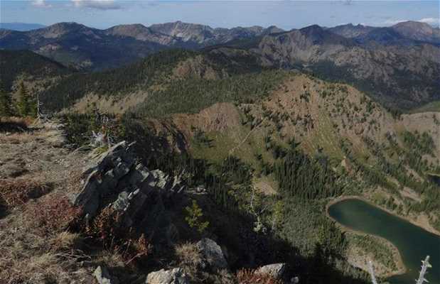
Stuart Peak is the second highest point visible from the Missoula Valley and a long hike by any measure. The main way up the peak is from the main Rattlesnake Canyon trailhead: start early, bring a jacket, and pack a lunch. Trail maps at the start of the hike will help you figure out the braid of trails that carpets lower reaches of the canyon, and the most direct route up the peak is well-signed as well. Though total length depends on which route you choose, you're generally looking at 18 miles round trip. The summit is within the Rattlesnake Wilderness Area, but bikes can be taken to within about 1.5 miles of the summit then stashed.
Read more


