albertoloyo
East Macdonnell Ranges
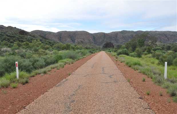
East of Alice Springs, there is a route that is part paved and part road (suitable only for 4x4s) which runs through this mountain. If you take the 4x4 route it is around 300 km but as I only had a normal car and it was rainy season, I had to take the paved path, about 50 km longer. On the asphalt road, you can see Emily Gap, Jessie Gap and Corroboree Rock, a sacred rock.


+4

