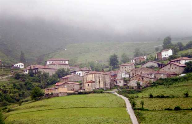
Lala
The hiking route R.III.4 part of the...
La ruta de senderismo R.III.4 forma...
La ruta de senderismo R.III.4 forma parte del Camino Real, la ruta que unía la costa cantábrica con la meseta peninsular. Esta ruta comienza en Tudanca y discurre siguiendo el cauce del río Saja, en dirección a Santotis, hasta casi llegar a Sarceda.
Es una ruta de poca dificultad (unos 7 Km de recorrido con un desnivel de 150 metros), pero el paisaje es de extrema belleza, contemplando el bosque de ribera del margen derecho del río Nansa y el estrechamiento de las montañas y pastizales.
The hiking route R.III.4 part of the Camino Real, the route linking the Cantabrian coast to the peninsular plateau. This route starts at Tudanca and running along the river Saja, Santotis direction, almost to Sarceda. It's a little difficult route (about 7 km long with a vertical drop of 150 meters), but the scenery is extremely beautiful, watching the riparian forest on the right bank of the river Nansa and narrowing of the mountains and grasslands.


+4

